ECCO Analysis Tool
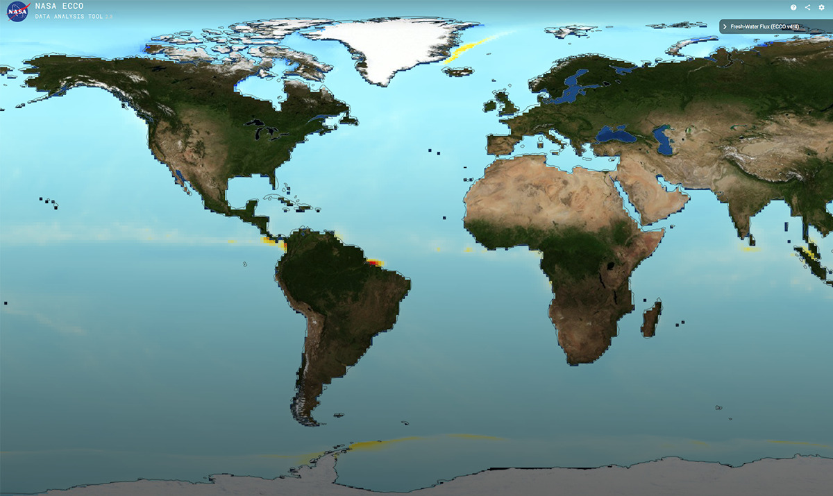
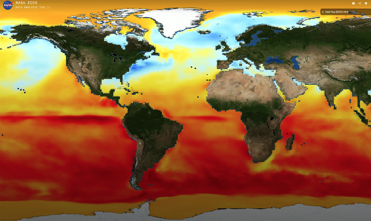
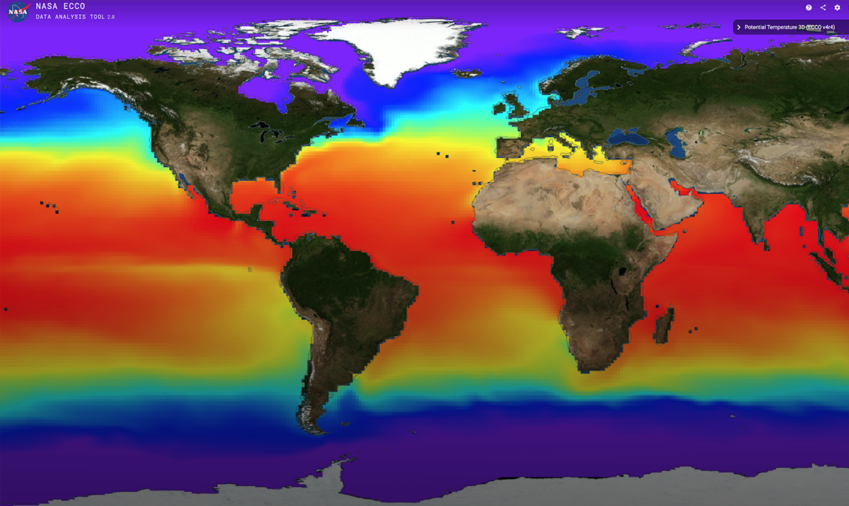
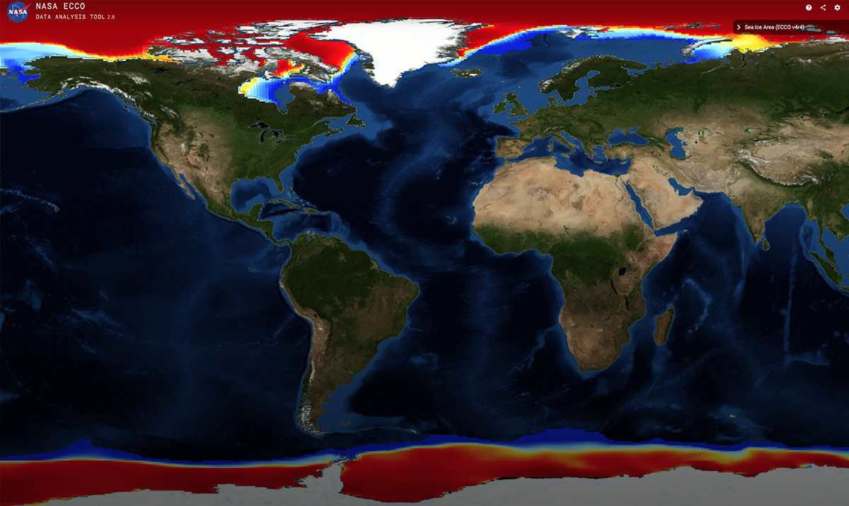
The ECCO Analysis Tool has been designed to allow for quick-look comparisons and analysis of various ECCO outputs. The ECCO outputs range from fluxes of freshwater, heat, and mass, to sea ice area, salinity, and sea surface topography. Latest ECCO products are interpolated to a ½ by ½ degree grid. ECCO products can be downloaded through the database for further analysis. Data span is January 1992-December 2017.
LAUNCH THE ECCO ANALYSIS TOOL »What Can You Do?
View and compare layers. Select one or more layers and adjust visibility by controlling opacity and work with a region of interest.
Draw a box or drop a pin with analysis tools to get statistics (min, max, standard deviation, trend, correlation) on data values. Analyze and compare time series, plot the area averaged time series up to two datasets for comparison, and apply filters to look at non-seasonal, high- and low-frequency signals.
Animate layers over time. Select a time period and interval. Synchronize the map with analysis time series.
Plot the data on a 3D Globe.
Available Data Layers:
- Potential Temperature 3D (°C)
- Data: ECCO, THETA, Monthly; Depth: top 10 meters
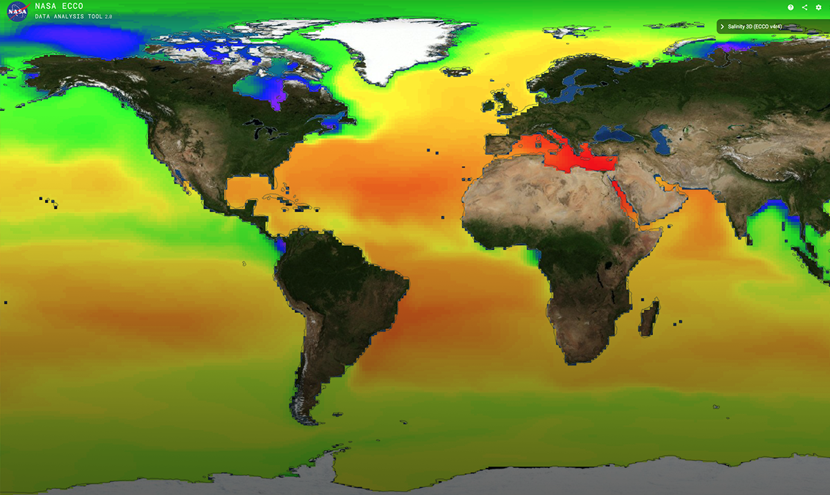
- Salinity 3D
- Data: ECCO, SALT, Monthly; Depth: top 10 meters
Data represent the top 10 meters of the water column.
Available Data Layers:
Available Data Layers:
- Density Stratification 3D (kg m‑3 m‑1)
- Data: ECCO, DRHODR, Monthly
- In-situ Seawater Density Anomaly 3D (kg m‑3)
- Data: ECCO, RHOAnoma, Monthly
- Ocean Hydrostatic Pressure Anomaly 3D (m2 s‑2)
- Data: ECCO, PHIHYD, Monthly
All data are ECCO V4r4, Monthly
Available Data Layers:
Available Data Layers:
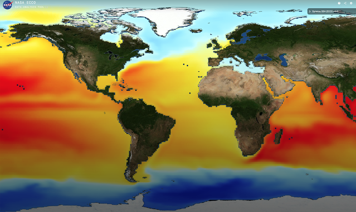
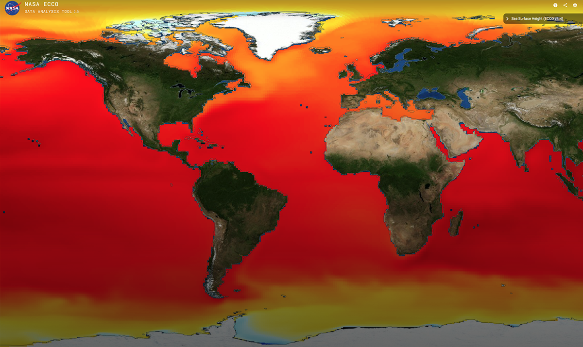
- SSH - Sea Surface Height (m)
- SSHIBC (m)
- SSHNOIBC (m)
All data are ECCO V4r4, Monthly
Available Data Layers:
Available Data Layers:
- OBP - Ocean Bottom Pressure (m)
- OBPGMAP (m)
Data represent the top 10 meters of the water column.
Available Data Layers:
Available Data Layers:
- Meridional (north-south) Velocity 3D (m s‑1)
- Data: ECCO, NVEL, Monthly
- Vertical Velocity 3D (m s‑1)
- Data: ECCO, WVEL, Monthly
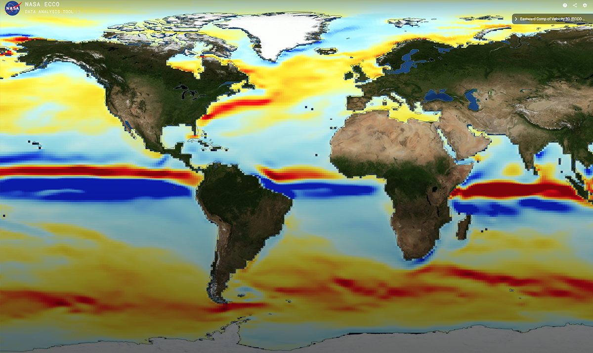
- Zonal (east-west) Velocity 3D (m s‑1)
- Data: ECCO, EVEL, Monthly
Data represent the top 10 meters of the water column.
Available Data Layers:
Available Data Layers:
- Meridional (north-south) Bolus Velocity 3D (m s‑1)
- Data: ECCO, NVELSTAR, Monthly
- Vertical Bolus Velocity 3D (m s‑1)
- Data: ECCO, WVELSTAR, Monthly
- Zonal (east-west) Bolus Velocity 3D (m s‑1)
- Data: ECCO, EVELSTAR, Monthly
All data are ECCO V4r4, Monthly
Available Data Layers:
Available Data Layers:
- Mixed-layer depth (m)
All data are ECCO V4r4, Monthly
Available Data Layers:
Available Data Layers:
- Area-averaged sea-ice thickness (m)
- Area-averaged snow thickness (m)
- Area-averaged sea-ice and snow mass per unit area (kg m‑2)
- Sea-ice concentration (1)
All data are ECCO V4r4, Monthly
Available Data Layers:
Available Data Layers:
- Meridional (north-south) sea-ice velocity (m s‑1)
- Zonal (east-west) sea-ice velocity (m s‑1)
All data are ECCO V4r4, Monthly
Available Data Layers:
Available Data Layers:
- Atmosphere surface (2 m) air temperature (K)
- Atmosphere surface (2 m) specific humidity (kg kg‑1)
- Atmosphere surface pressure (N m‑2)
- Meridional (north-south) wind speed (m s‑1)
- Wind speed (m s‑1)
- Zonal (east-west) wind speed (m s‑1)
All data are ECCO V4r4, Monthly
Available Data Layers:
Available Data Layers:
- Meridional (north-south) ocean surface stress (N m‑2)
- Meridional (north-south) wind stress (N m‑2)
- Zonal (east-west) ocean surface stress (N m‑2)
- Zonal (east-west) wind stress (N m‑2)
All data are ECCO V4r4, Monthly
Available Data Layers:
Available Data Layers:
- Freshwater flux to the atmosphere (kg m‑2 s‑1)
- Net freshwater flux into the ocean (kg m‑2 s‑1)
- Net freshwater flux into the open ocean, sea-ice, and snow (kg m‑2 s‑1)
- Open ocean evaporation rate (m s‑1)
- Open ocean net surface freshwater flux (m s‑1)
- Precipitation rate (m s‑1)
- Precipitation through sea-ice (kg m‑2 s‑1)
- Residual sublimation freshwater flux (kg m‑2 s‑1)
- River runoff (m s‑1)
- Snow precipitation on sea-ice (kg m‑2 s‑1)
- Total salt flux (g m‑2 s‑1)
All data are ECCO V4r4, Monthly
Available Data Layers:
Available Data Layers:
- Conservative ocean and sea-ice advective heat flux adjustment (W m‑2)
- Downward longwave radiative flux (W m‑2)
- Downward shortwave radiative flux (W m‑2)
- Net heat flux into the ocean surface (W m‑2)
- Net open ocean longwave radiative flux (W m‑2)
- Net shortwave radiative flux across the ocean surface (W m‑2)
- Net upward heat flux to the atmosphere (W m‑2)
- Open ocean air-sea latent heat flux (W m‑2)
- Open ocean air-sea sensible heat flux (W m‑2)
- Open ocean net air-sea heat flux (W m‑2)
- Open ocean net shortwave radiative flux (W m‑2)
- Total Heat Flux (W m‑2)


